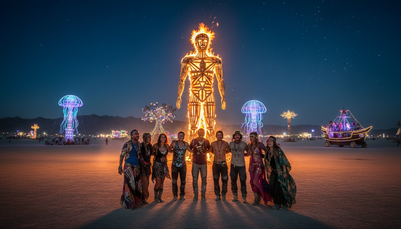
Quick answer: The annual burning man event unfolds on a remote Nevada playa called Black Rock City. This temporary city is built for the week-long festival and removed after the gathering ends.
This guide explains the actual site, the legal jurisdiction around the playa, and basic navigation tips. You will learn about maps, exact coordinates, distance from Reno, and the city’s fenced perimeter.
Expect open desert terrain that shapes planning, travel time, and gear choices. Weather can shift fast, with dust, wind, or rare rain, so preparation matters for a safe and fun experience.
Later sections dive into precise coordinates, how far the location is from Reno, on-site transport rules, and why the setting lifts art, gifting, and community values into something special.
Key Takeaways
- Black Rock City is a temporary city on a Nevada playa for the annual burning man gathering.
- The site is remote; plan for long drives and desert conditions.
- Maps, coordinates, and the perimeter fence are essential orientation points.
- On-site rules shape transport and campsite layout.
- The setting fuels art, the gift economy, and community-driven experience.
Where does burning man take place?
On a remote Nevada playa, a planned temporary city appears each year for art and community.
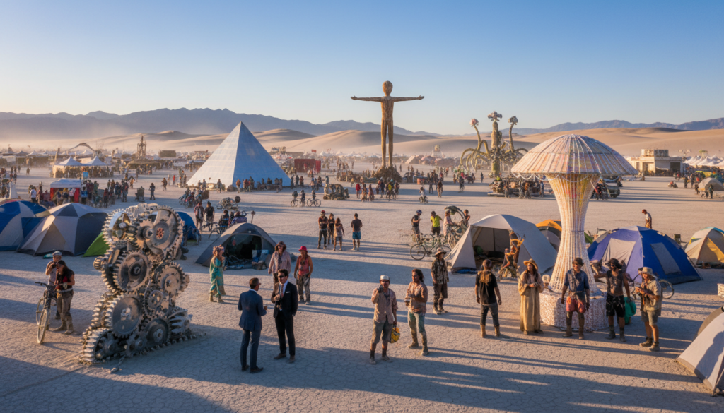
Black Rock City in the Black Rock Desert, northwestern Nevada
Since 1990, the festival has been held at Black Rock City, built on the flat playa of the Black Rock Desert. The site sits about 100 miles (160 km) north-northeast of Reno.
Pershing County and Bureau of Land Management land
The event footprint is on federal land managed by the Bureau of Land Management in Pershing County. Permits, public-safety plans, and land stewardship rules shape how the temporary city operates.
This is not a permanent town on a map. Black Rock appears for the week, then crews remove tents, art, and infrastructure. That deliberate design keeps the playa intact.
- Direct location: Black Rock City on the Black Rock playa in northwestern Nevada.
- Governance: BLM land in Pershing County governs permits and access rules.
- Orientation: Remote Nevada desert site—plan for long drives and few services.
| Feature | Detail | Impact for Attendees |
|---|---|---|
| Location | Black Rock City on Black Rock Desert playa | Remote travel; limited services |
| Governance | BLM land, Pershing County permits | Rules on access, safety, and land care |
| Duration | Temporary, erected for the event week | City layout is planned; leave-no-trace required |
Quick orientation: think of the location as more than a dot on a map. Permits, access rules, and stewardship shape what participants can and cannot do.
The next section explains how that temporary city is deliberately designed, not an improvised campsite.
Black Rock City: the temporary city that appears each year
A functioning temporary city appears on the playa each event year. Black Rock City is planned like any small town: streets, addresses, basic infrastructure, and a map that helps people find camps and services.
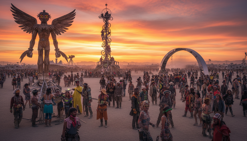
What the city means during the festival
Black Rock City is more than a location in Nevada. Saying you are “in Black Rock City” means you are inside an active community with volunteer-run resources, radios, and emergency points.
How theme camps shape the map
Theme camps and camps carve the city into neighborhoods. These pockets host music, workshops, art builds, and chill spaces.
- Theme camps create regular meeting spots.
- Shared community spaces act as social anchors.
- Participants design pop-up events rather than watching scheduled headliners.
Why people call it the playa
The word playa simply means the flat, dry lakebed where the city sits. On site, the playa becomes common language and a lived surface that demands care.
Participation matters: people don’t just attend—participants co-create art, camps, and the experience. The city’s magic unfolds on a harsh surface that needs planning and respect.
The Black Rock Desert setting and why it’s so unique
The Black Rock Desert is a broad, flat basin that shapes every moment of the festival.
The dry lakebed is a wide-open space with alkaline dust, bright sun, and big temperature swings. Dust can be powdery and cling to gear. Daytime heat can feel intense, and nights get much cooler.
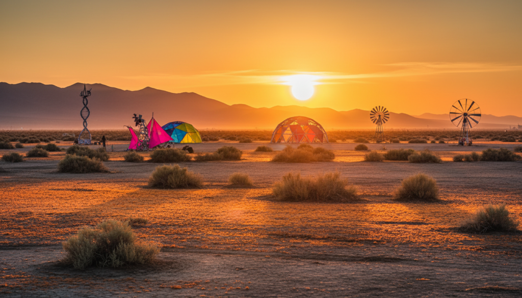
A dry lakebed environment: dust, heat, and wide-open space
Distances on the playa stretch perception. Landmarks can vanish in blowing dust, and light at night changes how you navigate.
Attendees should plan for dust exposure with goggles, masks, and sealed storage. Shade, scheduled water breaks, and sun protection keep heat risks low.
“Leaving No Trace” and what the desert requires of attendees
Leaving No Trace is a practical rule: pack out everything you bring. Even small debris is visible on the playa and harms the surface.
| Topic | Practical Tip | Why it matters |
|---|---|---|
| Dust protection | Goggles, dust masks, sealed bins | Protects eyes, lungs, and gear |
| Heat management | Shade structures, hydration schedule | Prevents heat exhaustion |
| Navigation | Maps, glow markers, reliable landmarks | Avoids getting lost in open terrain |
| Leave no trace | Pack out trash, sweep micro-debris | Preserves the rock desert for future events |
The environment ties directly to core rituals—art burns and the Man burn require careful fire and wind planning. Rare rain can turn powder into impassable mud, so prepare for sudden shifts.
Exact Burning Man location coordinates you can map
Pinning the festival on a map helps with planning, but the numbers are only one piece of the trip puzzle.
Coordinates (multiple formats):
- Degrees, minutes, seconds: 40°47′13″N 119°12′15″W
- Decimal degrees: 40.7869°N, -119.2042°W
- GPS format: 40.7869; -119.2042
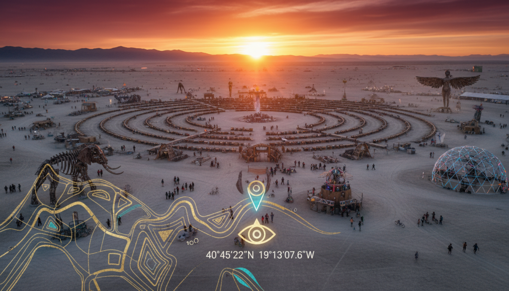
How to use coordinates responsibly
Use these data points to plug into Google Maps or a GPS device as a planning reference. They let you estimate driving time and pick a rendezvous point for your group.
Do not treat a single pin as a shortcut. Official gates, closures, and route changes control actual access. Follow posted signs and staff directions at checkpoints to stay safe and legal.
| Use | Why it helps | Limitations |
|---|---|---|
| Trip planning | Estimate distance and time | Maps may not show temporary route changes |
| GPS navigation | Set waypoints for camps or meeting spots | Devices can mislead in open playa without official markers |
| Emergency reference | Share precise location with support teams | Rescue access follows official roads and procedures |
Practical tips: build extra time into your schedule for checkpoints, delays, and weather-related detours. Treat coordinates as helpful map data, not a replacement for live updates or event instructions.
For guidance on packing for remote events and maximizing comfort and time on site, see this glamping and packing guide.
How far is Burning Man from Reno and other nearby points?
The trip from Reno to Black Rock City is a real part of the experience — roughly a 100-mile journey through changing terrain.
From downtown Reno to the playa is about 100 miles (160 km) north-northeast. Reporting on the 2023 flooding also cited roughly 141 miles (227 km) by some routes, so exact mileage can vary by start point and route choices.
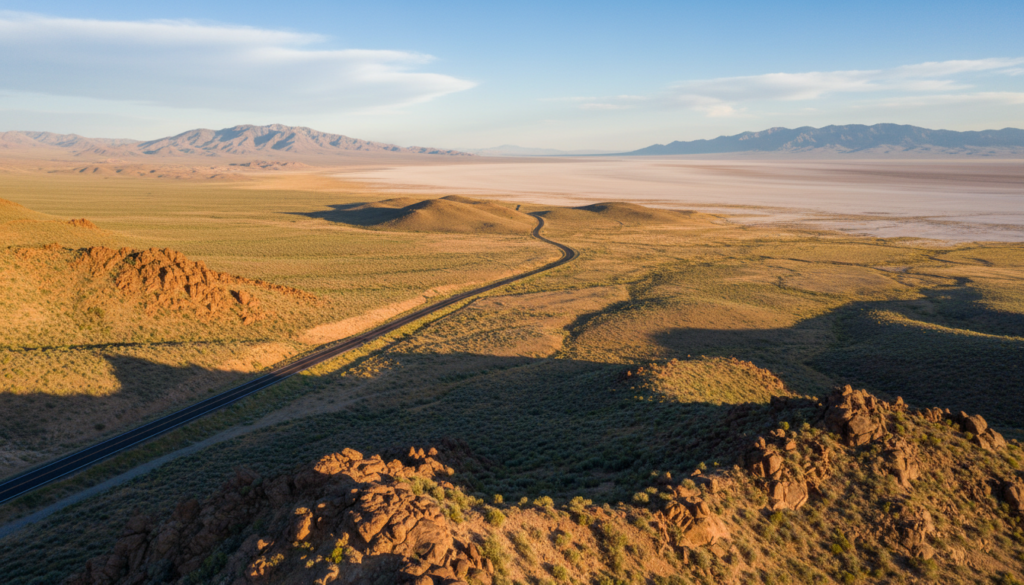
Common landmarks and the approach
North Reno and downtown start points create different odometer readings. Drivers from North Reno shave off miles and often reach the highways sooner.
Gerlach is the last real town before the playa. It serves as the final stop for fuel, food, and repairs for many people heading in.
| From | Approx. distance | What to expect |
|---|---|---|
| Downtown Reno | ~100 miles / 160 km | Two-plus hour drive without delays; allow more for traffic |
| North Reno | Shorter by several miles | Faster highway access; saves time on departure |
| Gerlach | ~20–30 miles from playa | Final services; roads may turn unpaved after town |
Approach roads get remote, with unpaved segments near the end. During peak arrival and exodus, traffic, gates, and weather can turn a short trip into a long day.
Many people use Reno for supplies, rentals, and last-minute prep. For tips on comfort and camping gear, see this glamping and packing guide.
Next: the festival’s roots began in San Francisco before moving to Nevada for room to grow and safer burns.
Why Burning Man moved from San Francisco to Nevada
The story began with a small ritual on a city shore that grew faster than planners expected.
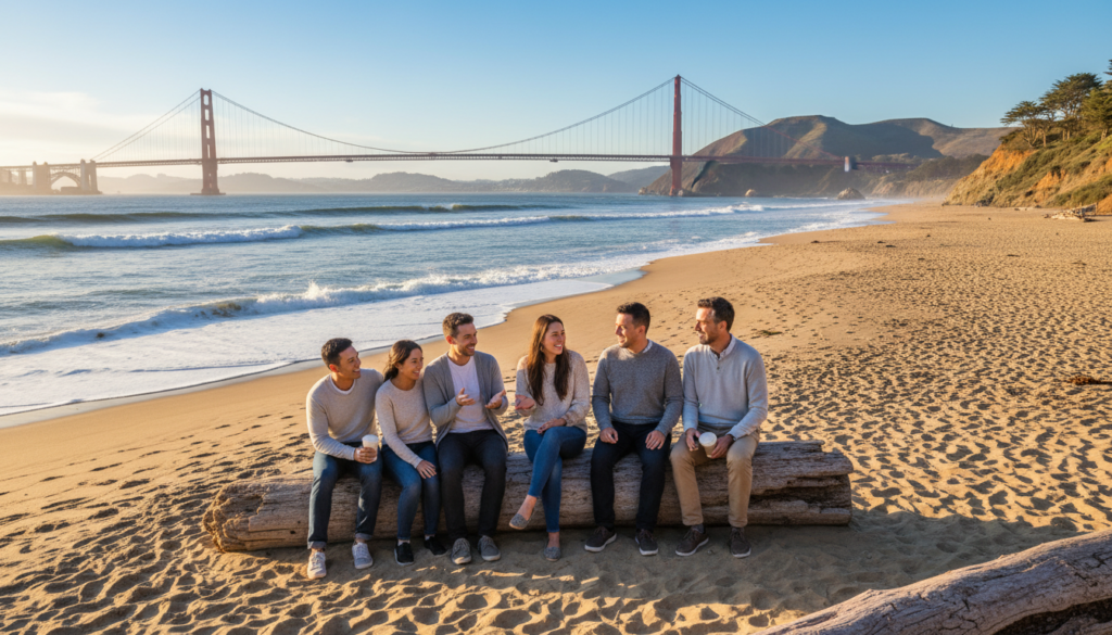
Baker Beach origins with Larry Harvey and Jerry James in 1986
On June 22, 1986, Larry Harvey and Jerry James led a small group to Baker Beach in San Francisco and burned a wooden figure as an artistic act. That first gathering felt intimate and experimental.
The 1990 shift to the Black Rock Desert and the birth of the modern festival
By 1990 the experiment had outgrown a city beach. The move to the Black Rock Desert let organizers scale art, camps, and infrastructure into a planned temporary city. Since 1990, the event has run on the playa at Black Rock City, enabling larger installations and safer logistics.
| Early site | New site | Why it mattered |
|---|---|---|
| Baker Beach, San Francisco | Black Rock Desert, Nevada | Better room for art and crowds |
| Small gatherings (1986) | Large, planned city (since 1990) | Permits, safety, and infrastructure |
| Urban limits | Wide-open playa | Temporary city concept possible |
Quick timeline: 1986 origin on Baker Beach, 1990 arrival at Black Rock — a shift that shaped the event’s scale and culture ahead of Labor Day each year.
When the festival happens and how the calendar affects the site
The festival runs on a fixed calendar rhythm that peaks around Labor Day weekend.
Timing and travel patterns
The gathering is a week-long event that culminates on Labor Day. The iconic burn falls on the Saturday night before the holiday, creating major movement patterns for arrivals and exits.
Plan for arrival surges the days before the holiday and heavy exodus right after. Traffic, checkpoints, and weather can add hours to your trip.
Build week and early access
Build week turns the empty playa into a functioning city. Access is limited and controlled so crews and camps can safely assemble infrastructure.
Strike and leaving no trace
After the holiday the strike phase begins. Teams dismantle camps, remove art, and sweep for micro-debris.
“Leave no trace” is a core rule during strike — the goal is to erase the city so the desert shows no sign it existed.
- Coordinates stay constant, but the site looks different by day and week.
- Major moments like the Man burn concentrate crowds and alter movement across the city.
- Because the layout is planned, the city’s design repeats from year to year for easier navigation.
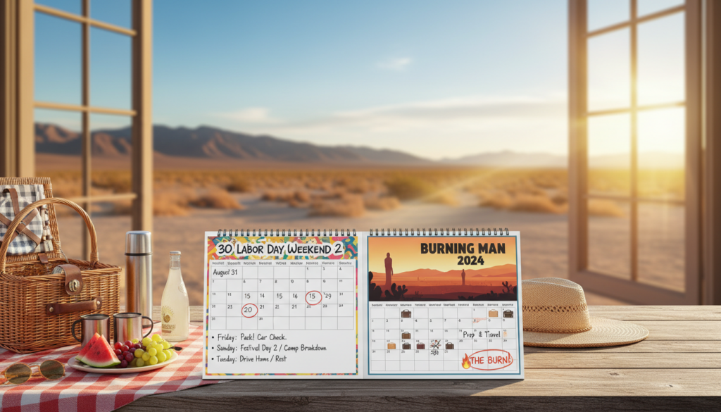
For packing and time planning tips, see this glamping and packing guide.
What the Black Rock City layout looks like on the ground
On the ground, the city reads like a map: concentric streets and radial avenues give clear direction across the wide playa.
The planned street grid is not random. It exists to help navigation, speed up emergency response, and let vehicles reach an address quickly.
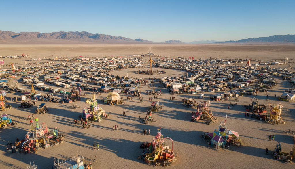
The planned street grid and why it exists
Grid logic: numbered streets and lettered avenues form predictable blocks. That layout helps medics and support teams reach a point even in dusty conditions.
Safety improves because responders can be sent to a specific address instead of searching open playa.
Center Camp, the Man, and the Temple as geographic anchors
Center Camp, the Man, and the Temple act as simple meeting points. First-timers use these anchors to orient themselves on the map and on foot.
Large art pieces and the main plaza give visual cues across the city’s width and help groups find one another.
How addresses help safety, services, and finding camps
Camps and theme camps slot into assigned blocks. This produces pockets of activity and quieter neighborhoods.
Addresses matter for meetups, medical calls, and delivery of services. Tell someone your camp address and they can get to you fast.
| Feature | Purpose | Benefit |
|---|---|---|
| Street grid | Organize traffic and emergency access | Faster response; easier navigation |
| Center Camp / Man / Temple | Geographic anchors and social hubs | Simple meeting points for groups |
| Camps & theme camps | Designated activity zones | Predictable noise and service patterns |
| Open playa landmarks | Large art and installations | Visual navigation beyond streets |
The perimeter and the “trash fence” that defines the event boundary
A plastic “trash fence” runs around the perimeter, defining what is inside the site and what is off-limits. This temporary barrier stretches roughly 9.2 miles (14.8 km) and forms a pentagon-shaped footprint for the festival.
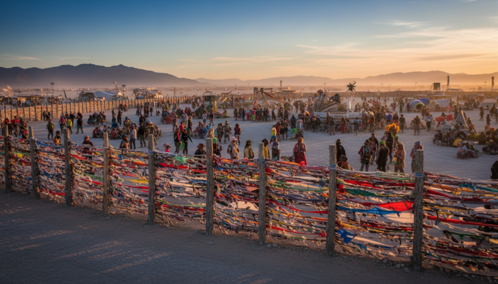
Why the fence exists and how it shapes the footprint
The fence’s main job is simple: catch wind-blown debris and keep the playa clean. It supports Leaving No Trace by trapping litter that would otherwise travel with strong winds across the Black Rock desert.
The perimeter also defines the width of Black Rock City. Inside that boundary are camps, art, and services for attendees. Outside it is closed to participants during the event, protecting fragile ground and wildlife.
Restricted access beyond the perimeter
Since 2002, areas beyond the fence are not open to festival guests. This is not optional exploration—signs and staff enforce the boundary to protect the land and support safety for thousands of people in a remote area.
- Treat perimeter signage and staff directions as authoritative.
- Do not plan meetups or routes past the fence; they will be blocked.
- Boundaries help operations, medical access, and crowd control.
| Feature | Why it matters | Practical effect for attendees |
|---|---|---|
| 9.2-mile trash fence | Catches wind-blown debris | Reduces litter spread; aids leaving no trace |
| Pentagon-shaped footprint | Defines event layout and services | Clarifies what is inside Black Rock City vs. outside |
| Restricted access | Protects playa and safety | Staff enforce limits; plan meetups inside the fence |
Once inside the boundary, movement and transport rules change dramatically compared to typical festivals. Follow posted guidance to stay safe and help preserve the Black Rock site for future events.
Transportation rules on-site: cars, bikes, and mutant vehicles
Getting around inside Black Rock City relies far more on feet and bikes than on typical car travel.
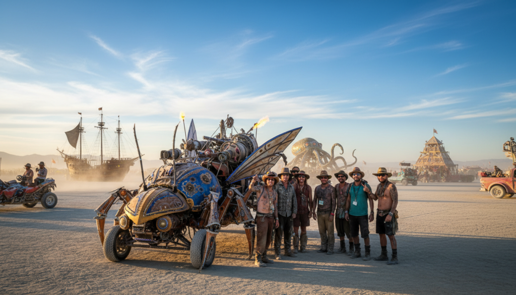
Why driving is largely prohibited during the festival
Cars are allowed for arrival and departure, but driving around the city is mostly forbidden. The site is designed for pedestrians and bicycles, not regular traffic. Restricting cars reduces serious risks in crowded, dusty conditions and improves overall safety.
Mutant vehicles and art cars: what’s allowed and why
Mutant vehicles and approved art cars are special, approved mobile art pieces. They require permits, inspections, and safety features. They are not personal convenience vehicles and operate under strict rules to protect participants and attendees.
Safety basics and pedestrian-first movement
Expect a 5 mph speed limit, strong visibility lighting, and a pedestrian-first mindset. Service vehicles and staff have limited access. Bring a bike and plan to walk; mobility on the playa is part of the experience.
| Transport type | When allowed | Notes |
|---|---|---|
| Cars | Arrival / departure | Parked during event; limited movement |
| Vehicles (service) | Authorized only | Used for logistics and emergency access |
| Mutant vehicles / art cars | Approved by organizers | Must meet rules, inspections, and lighting |
Think simple: bring a bike, carry water, and expect to move slowly. This transport culture invites more spontaneous art encounters and friendly interactions inside the city, setting the tone for why the site feels special.
For packing and mobility tips see glamping types.
What makes this place feel “special” beyond the map
Black Rock City’s energy comes from people who build surprise art and shared moments, not a schedule.
Art here is interactive. Large sculptures, small installations, and roaming performances invite touch, collaboration, and input from participants. That changes the basic expectation: you don’t just watch art—you join it.
The gift economy shifts social rules. People offer food, help, stickers, or tiny performances with no price or barter expected. These gestures create trust and prompt open, unexpected conversations between strangers.
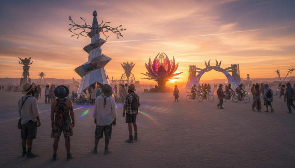
How shared values shape behavior
The event follows ten guiding ideas written by a co-founder in 2004. These include radical inclusion, gifting, decommodification, radical self-reliance, radical self-expression, communal effort, civic responsibility, leaving no trace, participation, and immediacy.
Those principles act like a cultural operating system. Decommodification removes ads and sales. Participation makes camps and art the entertainment. Leaving no trace forces careful cleanup and responsible camping.
Knowing these rules helps you read the site. It explains why camps welcome strangers, why art is often hands-on, and why crews sweep the ground after the event.
“Participation turns attendees into creators, and those creators shape every landmark and hotspot.”
Ultimately, the hottest spots are not ticketed stages. Theme camps and placed art become the hubs, because participants design the moments that make this experience unique.
Theme camps, placed art, and where the action happens
Instead of a fixed lineup, this festival’s highlights come from spontaneous camps and participant-run events. The city buzzes because people build, host, and gift experiences rather than buy tickets to headliners.
How participants create the event
Community-built camps as social engines
Theme camps act like tiny neighborhoods. They host workshops, dance floors, lounges, and gifting stations.
These camps run pop-ups and surprise performances, then change the next day.
What placed art looks like
Placed art can be giant interactive sculptures, temporary buildings, sound-and-light experiences, and roaming art cars. Installations often echo the year’s theme and invite hands-on participation.
Tips for finding experiences
- Explore by bike at different times to catch new events.
- Use city addresses, Center Camp, and large pieces as meeting points.
- Follow curiosity — the best moments are unscheduled.
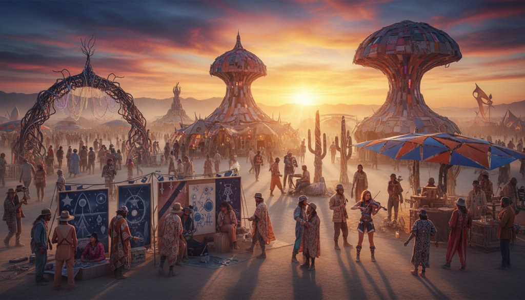
Keep in mind that weather and dust can shift crowds and limit outdoor activity, so plan flexibility and check conditions before hunting for art or camps. For comfort and setup ideas, see this glamping ideas.
Weather and ground conditions that can redefine the location
Weather on the playa can change schedules and shape every travel decision.
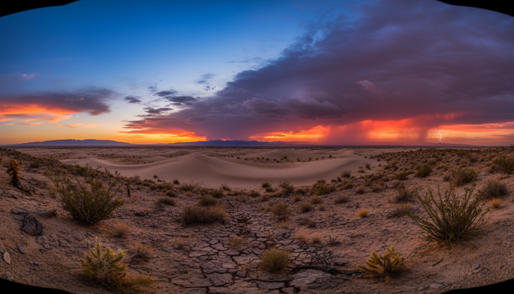
Dust storms and whiteouts common in the Nevada desert
Dust is a normal hazard on the Black Rock surface. Sudden storms can create whiteouts that cut visibility to almost zero.
When that happens, movement often pauses. Navigation becomes harder, even with the planned street grid and camp addresses.
Rain and “wet playa” conditions, including the 2023 flooding impacts
Rain is rare but high impact. A wet playa turns firm ground into deep mud that stalls vehicles and slows foot traffic.
In 2023 heavy rain caused flooding, prompting a driving ban until the surface dried. Thousands of people were temporarily stranded as road access was restricted and event timing shifted.
How road closures and driving bans affect entry and exodus
Road closures and driving bans make the last miles the most unpredictable part of any trip. Entry may be delayed at checkpoints, and exodus can take far longer than planned.
Planning matters: build extra time into your schedule, pack extra food and water, and treat live weather updates as essential—not optional.
| Condition | Likely effect | Action for attendees |
|---|---|---|
| Dust storm / whiteout | Visibility drop; movement paused | Seek shelter; secure gear; wait for clearing |
| Wet playa / heavy rain | Deep mud; driving bans; delayed burns | Carry extra supplies; expect shelter-in-place |
| Road closures / checkpoints | Long delays for entry or exit | Allow extra time; keep ticket and ID handy |
Note: public-safety planning and permits factor these risks into site design and operations. Event authorities monitor conditions and update rules to protect people and the playa.
Permits, population, and how big Black Rock City gets
The scale of the event turns remote desert into a planned urban system with addresses, services, and safety crews.
Black Rock City functions like a midsize city for a short week, with participants numbering in the tens of thousands. Official data notes 78,850 participants in 2019, which helps picture the density and rhythm of the city.
Because the site is federal land, BLM permitting drives how the event is allowed to operate. Permits force advance planning for impact mitigation, crowd control, and public-safety systems. Those requirements shape the grid, road rules, and where urgent services sit.
The city grid and clear addresses are practical tools for safety. Medics, dispatch, and support teams use the layout to reach people fast. Rules such as speed limits and driving restrictions exist to protect attendees and operational staff.
Capacity planning, ticket sales, and controlled ticket releases govern population each year. Ticket sales influence traffic timing, placement of camps and art, and the footprint of infrastructure. Plan accordingly: higher density changes what you must pack and how you move within the city.
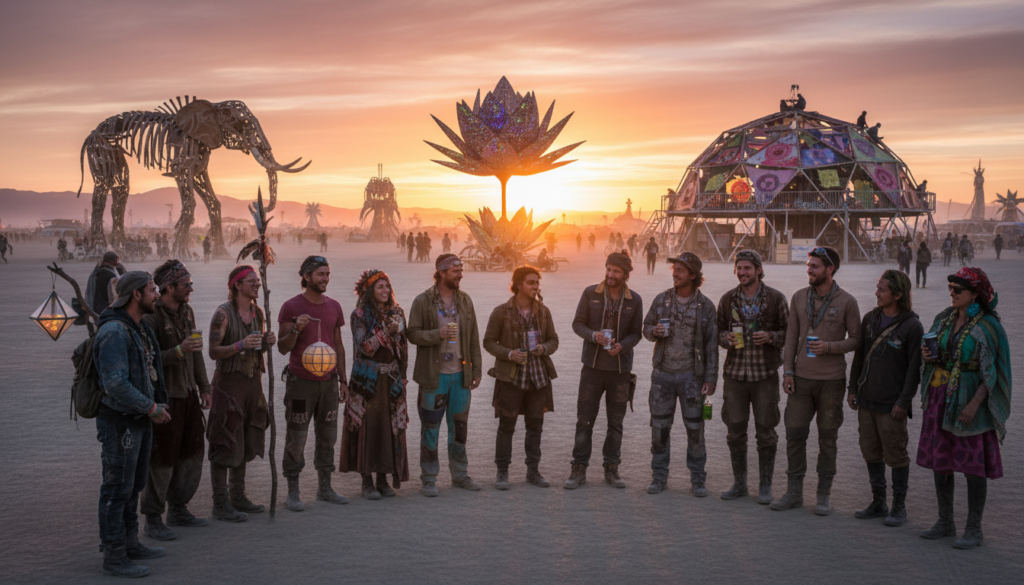
For ideas on comfortable camp setups that fit this scale, see a helpful bell tent guide like bell tent sleepover.
How the location influences what you should pack and plan
Packing for the playa means planning for a remote desert that gives little second chance. The site’s isolation makes basic supplies essential for a safe and good experience.
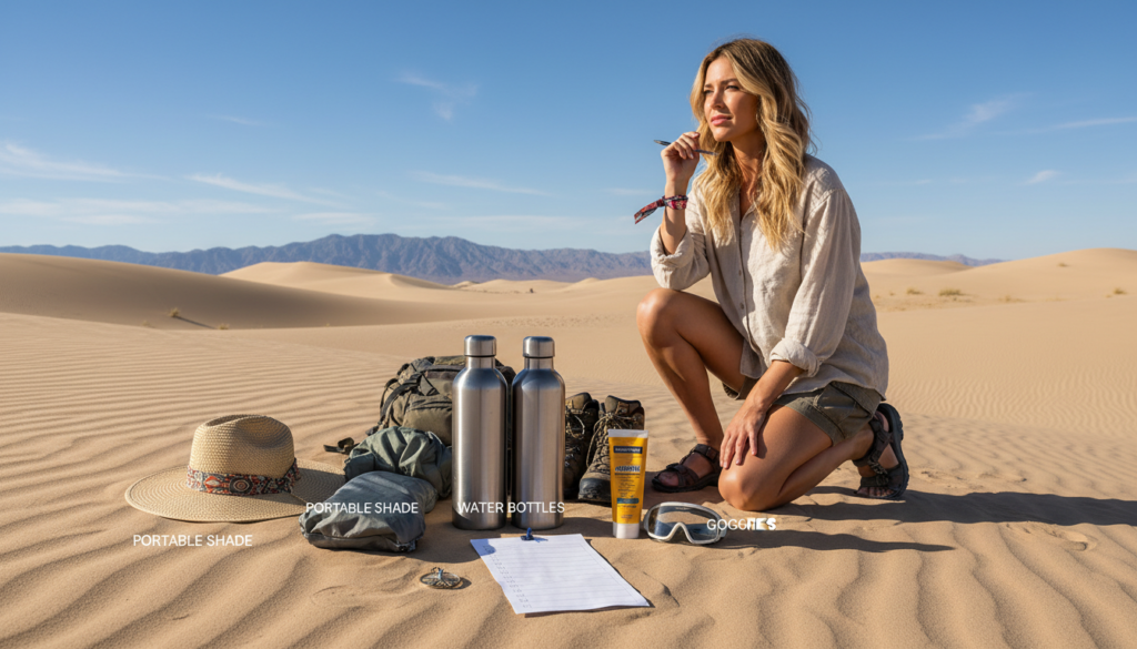
Self-reliance basics: water, food, shelter, and time planning
Participants must bring ample water and food. Relying on services is risky in a remote desert with limited options.
Choose a durable shelter that resists wind and dust. Pack warm layers for cold nights and sun protection for strong daytime heat.
Time buffers are crucial. Allow extra minutes or hours for entry lines, sudden weather holds, and slow movement when cars are parked and people use bikes or walk.
Navigation and connectivity realities in a remote desert event
Learn the city address system and use major anchors like the Man, Temple, and Center Camp for meetups.
Expect spotty connectivity and limited data. Plan rendezvous points and fixed time windows instead of relying solely on phones.
“Bring backups: a paper map, a charged light, and clear meeting times — they beat uncertain signals.”
| Need | Pack | Why it matters |
|---|---|---|
| Water & food | Extra gallons, nonperishable meals | Remote site; little to no refill options |
| Dust & sun | Goggles, masks, sunscreen, wide hat | Protects eyes, lungs, and skin from dust and heat |
| Shelter & warmth | Sturdy tent, wind anchors, warm layers | Wind resistance and cold nights on the desert |
| Navigation & contact | Paper map, glow markers, scheduled meetups | Compensates for weak cell connectivity and road delays |
While many regional events share similar values, the Nevada location’s remoteness defines the scale of planning needed by participants and attendees. For focused packing tips, see this glamping packing guide.
Regional Burning Man events vs. the Nevada location
Regional burns bring the same core values to local communities, in smaller, more accessible settings.
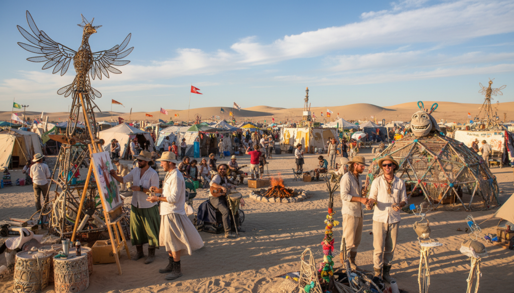
How regional gatherings link to the project’s principles
Local events are organized by volunteers and follow the ten guiding ideas. They mirror the culture of gifting, participation, and leaving no trace.
Art and community show up in both formats, but scale and logistics differ. Regional events often run in parks, forests, or urban lots and are easier to reach for many participants.
Why Black Rock City stays the flagship
Black Rock City on the Black Rock Desert playa remains the central event due to its temporary-city design and vast open space.
The Nevada setting intensifies self-reliance, larger art builds, and complex logistics developed over years. That draw makes the flagship unique for many participants.
- Regional events: smaller scale, local access, lower cost.
- Black Rock City: massive installations, planned city grid, vast playa experience.
| Type | Scale | Best for |
|---|---|---|
| Regional events | Small to medium | Local community connection |
| Black Rock City | Large, flagship | Iconic desert art experience |
In short: the answer is geographic and experiential — your choice depends on access, desired art, and how much self-reliance you want to practice.
Conclusion
Drought-hardened desert fields host a planned temporary city each year. Burning Man takes place on the Black Rock City footprint, built on the Black Rock Desert playa in Pershing County on BLM land.
Quick, actionable takeaways: the coordinates guide maps, the trip from Reno is roughly 100 miles, and official gates and directions matter more than a lone pin on a GPS.
The grid, the 9-mile perimeter fence, and strict transport rules shape how people move and meet. Those rules keep the site safe and keep the playa clean.
The location is geography and culture combined — huge art, gifting, and the Ten Principles make this festival feel unique to participants and community alike.
Final, strong, practical reminder: check weather, pack extra supplies, build time and patience into plans, and bookmark this guide before you buy a ticket or finalize routes. width=device-width